
Danube River Travel Guide – From Germany’s Black Forest to the Black Sea
A source-to-sea guide to the Danube: the route through ten countries, the Iron Gates, the Delta, how people actually travel it today, and the border and safety details most guides skip.

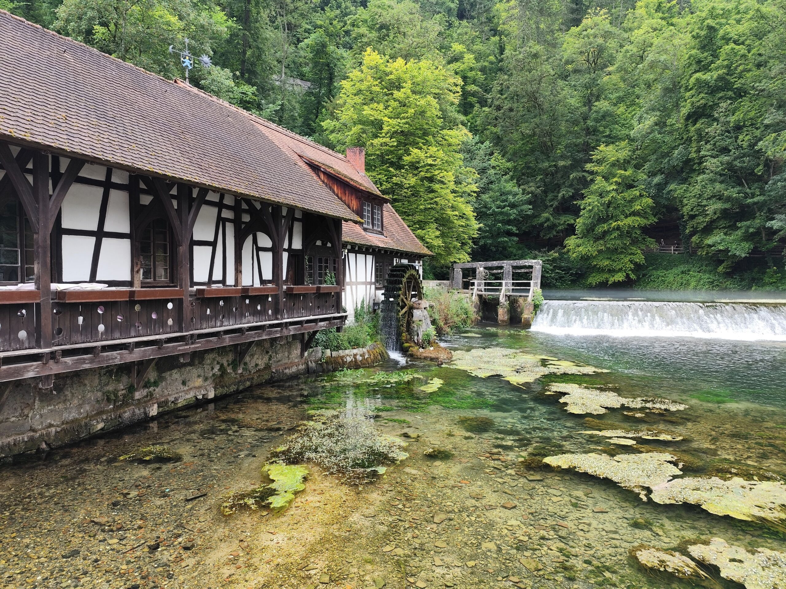
The Danube starts as a modest stream in Germany’s Black Forest and finishes 2,850 kilometers later in a delta on Romania’s Black Sea coast. Along the way it touches ten countries and four national capitals, more than any other river in Europe.
This guide follows the river downstream, from source to sea. It covers what each stretch looks like, how people actually travel it in 2026, and the practical details that shift from year to year: seasons, borders, and current safety conditions near the delta.
The Danube in numbers
A few figures explain why this river carries so much weight in European history and trade.
| Metric | Figure |
|---|---|
| Total length | 2,850 km, Europe’s second-longest river after the Volga |
| Source | Donaueschingen, Germany (confluence of the Breg and Brigach) |
| Mouth | Danube Delta, Black Sea, Romania and Ukraine |
| Countries touched | 10: Germany, Austria, Slovakia, Hungary, Croatia, Serbia, Romania, Bulgaria, Moldova, Ukraine |
| National capitals on the river | 4: Vienna, Bratislava, Budapest, Belgrade |
| Navigable length | 2,415 km, about 87% of the total |
| River basin | 801,463 km², shared by 19 countries and home to roughly 79 million people |
| Danube Delta | About 6,750 km², UNESCO World Heritage since 1991 |
Figures on the basin and delta come from the International Commission for the Protection of the Danube River and the UNESCO World Heritage listing for the Danube Delta, both current as of 2026.
Where the river actually starts
Donaueschingen gets the tourist plaque. Two streams, the Breg and the Brigach, meet there and the combined river takes the Danube name from that point on.
A stranger detail sits a few kilometers downstream. Between Immendingen and Fridingen, in dry summers, the entire river disappears into limestone sinkholes for weeks at a time. It resurfaces 12 kilometers away as the Aach spring, which feeds the Rhine and the North Sea instead of the Black Sea.
In 1921, the driest year on record for that stretch, the riverbed stayed completely empty for close to nine months. Most people picturing a “mighty European river” have never heard that it can vanish underground.
Upper Danube – Passau to Vienna
This is the stretch most first-time visitors picture: baroque towns, terraced vineyards, and the river at its narrowest and fastest.
- Passau: the German departure point for most cruises, built where the Danube, Inn, and Ilz rivers meet. St. Stephen’s Cathedral holds one of the largest cathedral organs in the world, with close to 18,000 pipes.
- Wachau Valley: a UNESCO-listed stretch of vineyards, apricot orchards, and river towns including Dürnstein and Melk, home to a working Benedictine abbey founded in 1089.
- Vienna: the first capital on the route, and the river’s most photographed stretch after dark.
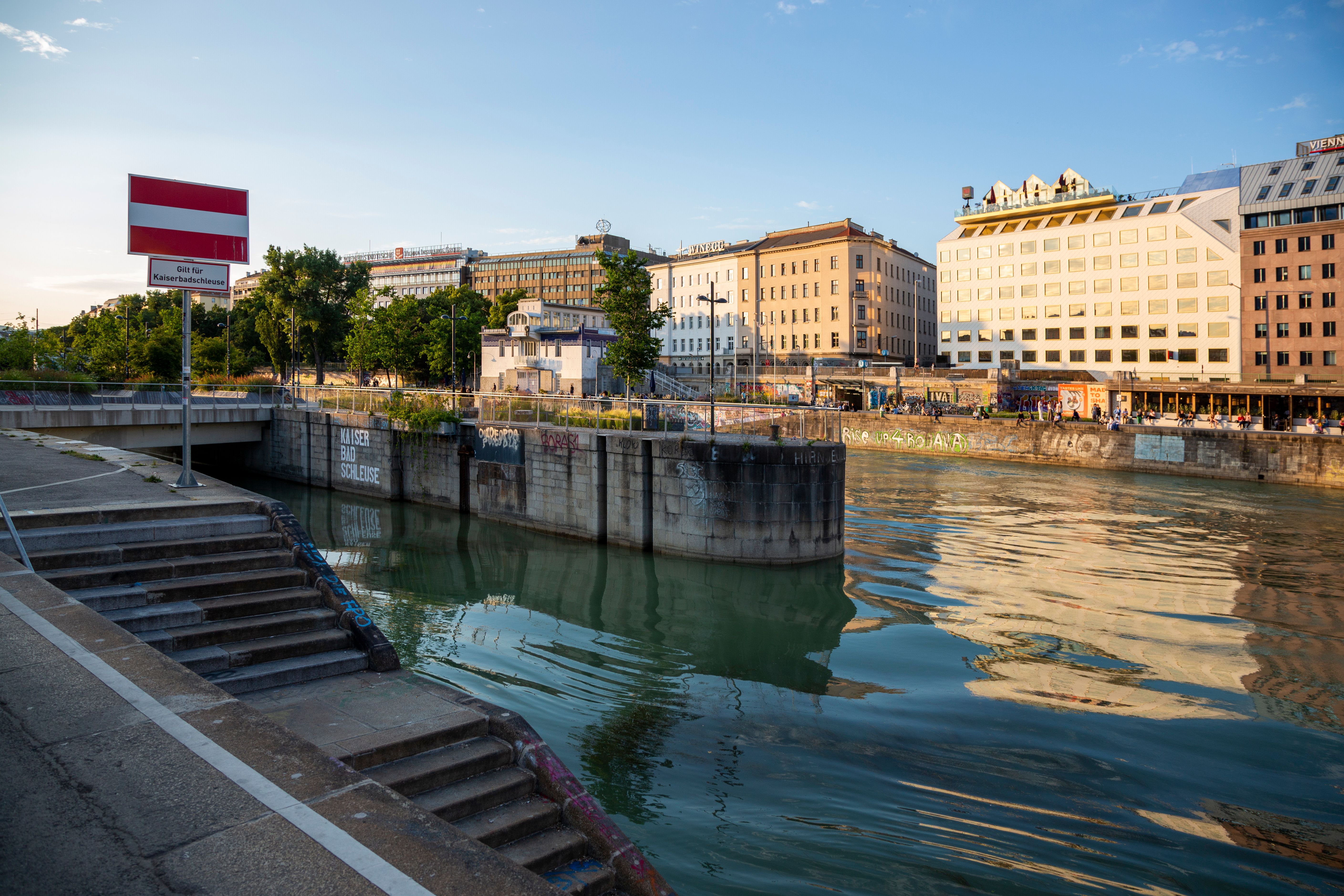
Middle Danube – Bratislava to Belgrade
The river widens and slows here, cutting across the Pannonian Plain and through three more capitals in under 400 kilometers.
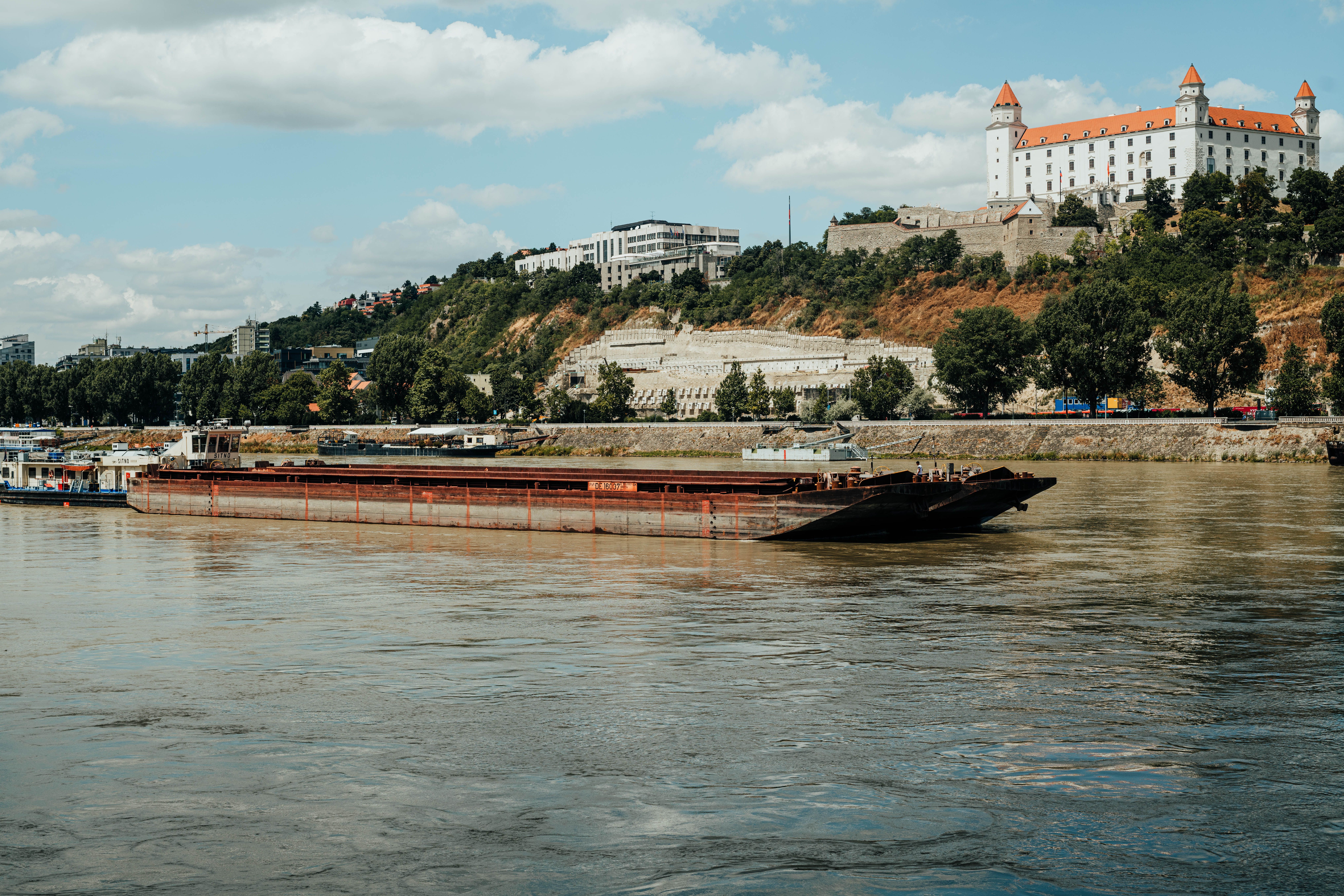
- Bratislava: barely an hour from Vienna by river, with a hilltop castle overlooking the water.
- Budapest: split by the Danube into Buda and Pest, tied together by the Chain Bridge and famous for its Parliament building and thermal baths.
- Novi Sad: Serbia’s second city, anchored by the Petrovaradin Fortress.
- Belgrade: where the Danube meets the Sava, overlooked by the Kalemegdan Fortress.
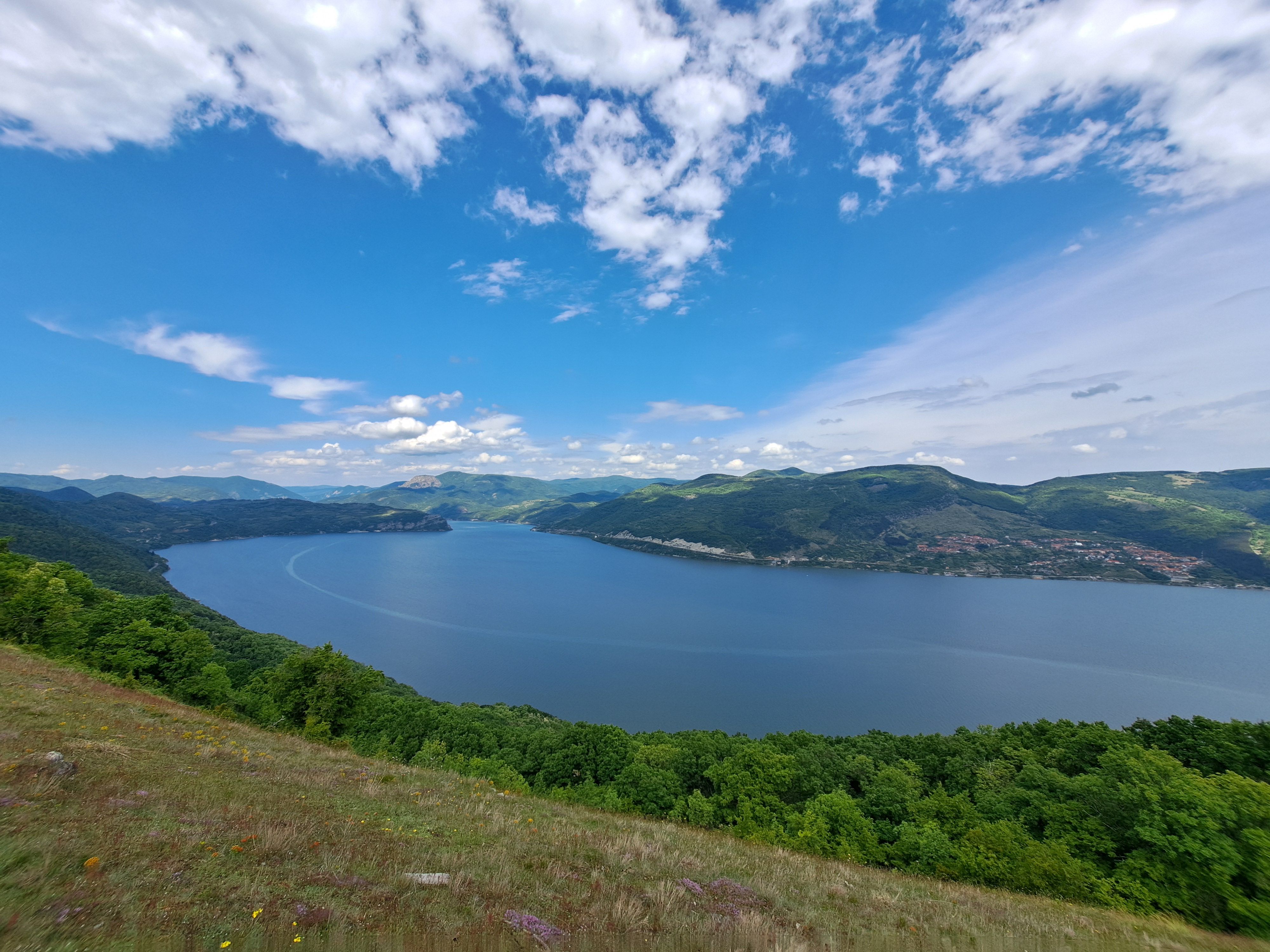
The Iron Gates – where the river turns into a canyon
Below Belgrade, the Danube squeezes between the Carpathian and Balkan mountains and narrows to about 150 meters at its tightest point, its narrowest stretch anywhere along its course.
Rapids here once made this section unnavigable. A hydroelectric dam and shipping lock, completed in the 1970s and shared by Serbia and Romania, tamed the water and opened the gorge to regular traffic.
Two details worth watching for from the deck: the 40-meter rock carving of the Dacian king Decebalus near Dubova, and the archaeological site of Lepenski Vir, a Mesolithic settlement roughly 9,000 years old.
Lower Danube – Bulgaria, Romania, and into the Delta
Past the Iron Gates the river spreads out again, forming most of the Bulgaria-Romania border for close to 470 kilometers.
- Vidin and Ruse: Ruse in particular carries a nickname, “Little Vienna on the Danube,” for its 19th-century Austro-Hungarian architecture.
- Bucharest: not directly on the Danube, but reachable by river via the Danube-Black Sea Canal through Cernavodă, which cuts out a long loop through the delta.
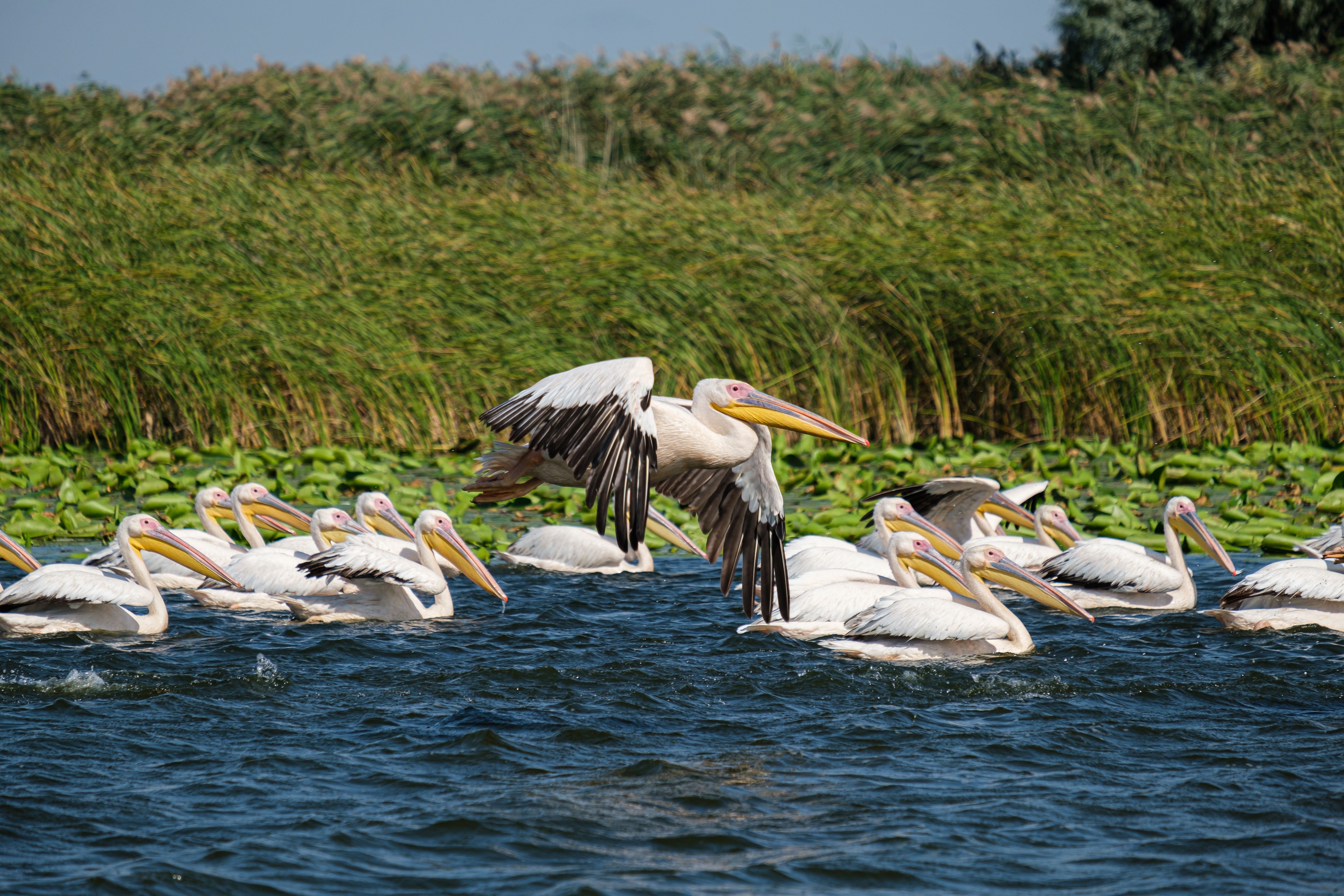
- The Danube Delta: Europe’s largest remaining natural wetland, split into the Chilia, Sulina, and Sfântu Gheorghe channels. It holds Europe’s largest population of great white pelicans alongside more than 300 recorded bird species.
- Constanța: Romania’s main Black Sea port and a common finishing or side-trip point for cruises.
One current caveat belongs here, not buried in a footnote. Since Russian strikes intensified against Ukraine’s Black Sea ports in 2022, exporters have rerouted grain through the Ukrainian Danube ports of Izmail and Reni, on the river’s northern bank near the delta. As of late August 2026, dozens of cargo vessels were queued off Romania’s Sulina Canal waiting for a pilot slot into those ports, and Izmail’s port infrastructure has taken direct strikes this year. The Romanian side of the delta, Tulcea, Sulina, and Sfântu Gheorghe, runs its normal tourist boats and lodges. The Ukrainian bank is not currently a place to add to a leisure itinerary, whatever an older guidebook might say.
The Danube is a working river first, a cruise route second
Long before pleasure cruises existed, the Danube was a Roman frontier and a trade artery. That commercial role never stopped.
The Rhine-Main-Danube Canal, completed in 1992 after more than three decades of construction, links the Danube at Kelheim to the Main at Bamberg. It finally realized an idea first floated by Charlemagne in the 8th century: a continuous inland waterway from the North Sea to the Black Sea.
Barges still move grain, ore, coal, and containers along that same route every day, sharing locks and channels with the cruise ships. Companies that arrange Danube transport service and logistic operations, moving bulk cargo between the North Sea and the Black Sea by barge, depend on the same water levels and lock schedules that determine whether a tourist cruise sails on time or swaps a river day for a bus transfer.
Cruise, cycle, or drive – matching the trip to the traveler
| Way to travel | Typical scope | Time needed | Best for |
|---|---|---|---|
| River cruise | Passau to the Black Sea, round trip | 12 to 19 days | Covering the whole route without driving or planning logistics |
| Cycling, EuroVelo 6 | Passau to Budapest is the classic 620 km segment; the full Danube leg runs into Romania | 1 to 2 weeks for Passau-Budapest | Active travelers on a flexible budget |
| Self-drive or rail | Any segment, city to city | Flexible, days to weeks | Independent travelers who want to skip stretches and linger in cities |
The EuroVelo 6 cycling route follows the Danube almost the whole way, and it is flat enough for most fitness levels between Passau and Budapest.
Best time to go
May, June, and September give the most reliable mix of mild weather, manageable crowds, and stable water levels on the Danube.
- March to May: cooler, cheaper, and greener, but Alpine snowmelt can raise water levels enough to block low bridges upstream.
- June to August: the longest days and the busiest ports, with a real risk of low water by late summer.
- September to October: harvest season in the Wachau, generally the most stable water levels of the year.
- Late November to December: Christmas market season in Vienna, Budapest, and Passau, at the cost of cold, short days.
Low water is not a hypothetical. In 2026, drought conditions on the Danube basin cut barge carrying capacity on parts of the Lower Danube by as much as 60%, according to Polish think tank OSW’s July 2026 analysis of Danube shipping. The same shallow stretches that slow cargo barges can force cruise lines to bus passengers around a section instead of sailing it.
Borders and documents you’ll actually need
Germany, Austria, Slovakia, Hungary, Croatia, Bulgaria, and Romania are all in the Schengen area. Bulgaria and Romania joined fully, including land borders, on 1 January 2025.
Serbia sits outside the EU and outside Schengen. Expect a passport check entering Serbia from Croatia or Hungary, and another leaving it toward Bulgaria or Romania. Most EU, UK, and US passport holders enter Serbia visa-free for short stays.
Danube river crossings count as land borders under Schengen rules, the same as a road checkpoint. That classification caused real queues at the Bulgaria-Romania river crossings through 2024, while the two countries had air and sea Schengen access but not land access yet. Since the land border checks were lifted on 1 January 2025, river crossings between Bulgaria and Romania follow the same open rule.
What I would actually do differently
Most 15-day “Passau to the Black Sea” cruise brochures spend close to half the trip retracing the same stretch of river, since the ship has to return to its start port. I would split the trip instead.
I’d book the classic Passau-to-Budapest week as its own trip, by cruise or by bike, and treat the Iron Gates to the Delta as a separate journey later, flying in and out of Belgrade or Bucharest. Two focused trips beat one long one that backtracks.
For the delta specifically, I would stick to a single day trip from Tulcea on the Romanian side. Given the current shipping congestion and strikes on the Ukrainian bank, that is where the interesting wildlife and boat trips already are, without the complications.
Frequently asked questions
How long does it take to travel the Danube from Germany to the Black Sea?
A one-way cruise typically takes 9 to 12 days. Round-trip itineraries that return to Passau run 15 to 19 days.
Can you drive the whole length of the Danube?
Yes, roads follow the river through most countries, though not always right along the bank. Expect to cross in and out of Serbia’s non-Schengen border twice.
Is the Danube Delta safe to visit right now?
The Romanian side, based around Tulcea, operates normally for tourism. The Ukrainian side, around Izmail and Reni, is an active cargo shipping corridor affected by the war and is not a recommended add-on for a leisure trip in 2026.
Do you need a visa to cruise through Serbia?
Most EU, UK, and US citizens do not need a visa for short tourist stays in Serbia. Bring a passport valid well beyond your travel dates, since border checks apply on entry and exit.
What’s the best single stretch if I only have a week?
Passau to Budapest. It covers the Wachau Valley, Vienna, Bratislava, and Budapest in roughly 620 river kilometers, and it is the best-served stretch for both cruises and cycling.
Do cargo ships and cruise ships use the same river?
Yes. Barges carrying grain, ore, and containers share the same locks, channels, and water-level constraints as passenger cruise ships, from Rotterdam to the Black Sea.
How this guide was put together
This guide draws on hydrographic data from the ICPDR and UNESCO, current cruise line itineraries from operators including nicko cruises, Viva Cruises, and Amadeus River Cruises, EU Council documentation on the 2025 Schengen land border decision, and August 2026 shipping and logistics reporting on the Danube Delta from Ports Europe, Reuters (via Devdiscourse), and the OSW think tank. Water levels, shipping conditions near the Ukrainian border, and border-check rules can change quickly. Recheck them close to your travel dates, particularly anything involving the delta.
